Rivers have always organized the places around them – cities, borders, trade routes, moods. Europe’s great waterways carry that weight visibly, and some stretches of riverbank are worth a trip entirely on their own terms.
The Seine, France
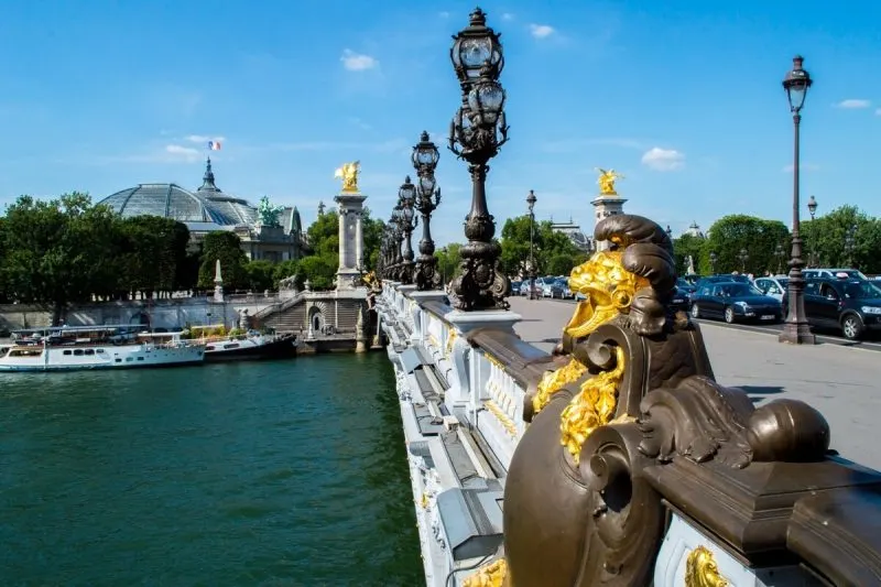
Paris gets written about so often that it can feel impossible to approach without reaching for the same descriptions. The Seine cuts through the city in a way that’s genuinely different from most urban rivers – it’s low relative to the street level, and the quais along its banks create a second tier of the city where a different pace operates. Walk the Left Bank from the Pont d’Iéna east past the Musée d’Orsay toward the Île Saint-Louis on a weekday morning and you’ll mostly encounter people cycling to work, booksellers setting up their stalls, and the occasional jogger. The bridges over the Seine number 37 within Paris alone, and each one frames the water differently.
The river becomes more interesting the further you get from the city center. The stretch through Normandy, where the Seine loops dramatically through the chalk plateau before reaching the sea at Le Havre, is one of the least-visited parts of northern France. The Abbey of Jumièges sits in ruins above a bend in the river and has been in that state since the French Revolution; it’s an extraordinary sight even in partial collapse. The town of Les Andelys, with its clifftop castle ruins above the river, is another point where the Seine’s wider landscape becomes clear. For those traveling through northern Europe by rail, the Paris to Amsterdam train follows a route that parallels some of the region’s most important waterways before crossing into the Netherlands, where the flat geometry of rivers, canals, and polders creates a completely different kind of river landscape.

The Danube, Central Europe
The Danube is Europe’s second-longest river, running 1,777 miles from the Black Forest to the Black Sea through ten countries. Its most scenic stretch by most accounts runs from Passau, at the German-Austrian border, through the Wachau Valley in Austria to Vienna – a corridor of medieval towns, vineyard terraces, and castle ruins stacked above each curve in the river. Melk Abbey sits on a rocky outcrop above the river with a dominance that’s hard to ignore even from a distance. Dürnstein, a few miles east, is smaller and less visited, with a ruined castle above the town where Richard I of England was famously held captive in 1192.
The river changes character entirely as it continues east. Vienna announces itself gradually as you approach from the west – the Danube Island, a long artificial island created from a flood-relief channel in the 1970s, is where the city’s residents swim and cycle in summer, which gives you a very different introduction to the city than arriving by air.
The stretch between Vienna and Budapest is among the most argued-over in terms of train routing, and the train from Vienna to Budapest follows the river for part of its route, offering stretches of landscape that are difficult to access any other way. The Danube Bend north of Budapest, where the river turns sharply south before entering the Hungarian capital, is often called the most beautiful section of the river’s entire length. The town of Visegrád sits above the bend with panoramic views from its citadel, and in October the surrounding beech forests turn the hills copper and gold.


The Rhine, Germany and Switzerland
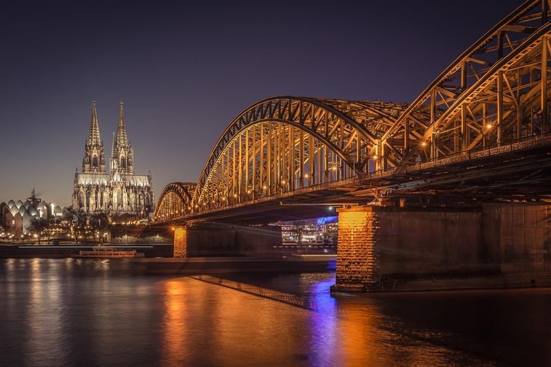
The Rhine runs from the Swiss Alps to the North Sea and passes through some of the most studied landscapes in European geography. The Upper Middle Rhine Valley – the stretch between Bingen and Koblenz in Germany – is the section most people think of when they imagine the river. The gorge here cuts through slate uplands, and the density of castles on the surrounding hills is genuinely remarkable: over 40 of them within 65 kilometers, some ruined, some restored, a few now operating as hotels. The Loreley rock, a 132-meter slate cliff that narrows the river to its tightest point, has accumulated centuries of legend out of proportion to its size.
The Rhine changes as it enters Switzerland and becomes the Hochrhein, running through Basel and then continuing west as the border between Germany and France. Basel’s position at the exact point where Switzerland, Germany, and France meet makes it an unusual city – it has three international connections and a self-possession about its place in the middle of things. The Rhine Falls near Schaffhausen, just before the river enters Lake Constance, are the most powerful waterfall in Europe by volume of water and are worth visiting in spring when snowmelt pushes the flow to its maximum. The spray is visible from the viewing platforms on either bank and the noise of it carries a long way.
The Douro, Portugal and Spain
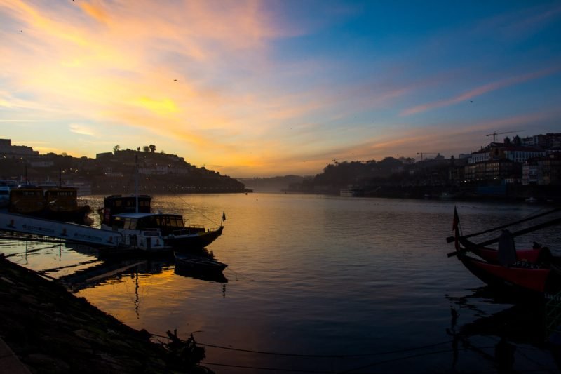
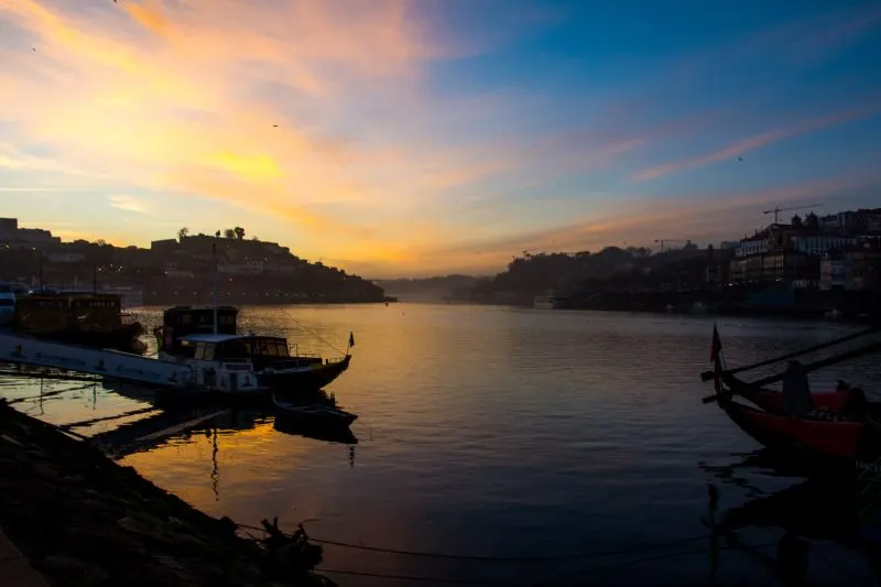
The Douro rises in the Soria region of northern Spain and runs west for 557 miles before reaching the Atlantic at Porto. The most striking section is the Portuguese stretch through the Alto Douro Wine Region, where the valley sides have been terraced for viticulture over roughly two thousand years. The terraces are human-scale in a way that’s easy to underestimate until you see them from above – from a drone photograph or from the road that runs along the northern ridge, the scale of the agricultural reshaping of this landscape becomes clear. Quintas, or wine estates, are scattered along both banks of the river, many of them open to visitors for tastings and cellar tours.
The river was once unnavigable in its central section due to rapids; the construction of a series of dams in the 20th century tamed the flow and created the deep reservoirs that now make up the valley landscape. Pinhão is the main town in the wine country and a good base – it’s small, has one of the most photographed train stations in Portugal (the platform walls are covered in blue-and-white azulejo tiles depicting scenes of rural life), and sits directly on the river.
The Douro Valley receives far fewer visitors than the Alentejo wine region or the coastal areas, which means the infrastructure is less developed but the experience is less managed. The vineyards and river views from the road over to Figueira de Castelo Rodrigo, toward the Spanish border, are the kind of thing you find by not following a guidebook.
The Moselle, France, Luxembourg, and Germany
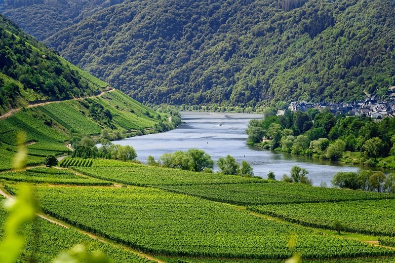
The Moselle runs 339 miles from the Vosges Mountains in France to its confluence with the Rhine at Koblenz, and its character shifts noticeably as it crosses through three countries. The French Moselle around Metz is wide and urban; the Luxembourg section is narrow and wooded with the Ardennes pressing in on both sides. The German Moselle – the stretch most visited for wine tourism – runs through a valley that resembles the Rhine Gorge in its steep-sided drama but feels more intimate in scale. Cochem is the most visited town, with a 19th-century castle high above the town center, and it earns the attention in terms of setting even if the summer crowds make the town itself hectic.
The wine produced along the German Moselle is predominantly Riesling, and the steep slate slopes here are among the most difficult vineyard sites in Germany to farm – machinery can’t operate on gradients this sharp, so harvesting is done entirely by hand. Bremm contains what is claimed to be the steepest vineyard in the world, the Bremmer Calmont, with slopes reaching 65 degrees in places.
The village of Beilstein, a few kilometers south of Cochem, has been left largely uncommercialised and gives a more honest picture of what Moselle wine villages looked like before tourism arrived. The river walk between Beilstein and Ediger-Eller is quiet, shaded for most of its length, and follows the bank close enough to the water that you can hear the current.
The Thames, England
The Thames’ reputation is complicated by London, which dominates how people think about it. But the river runs 215 miles from its source in the Cotswolds to the sea, and the upper reaches – from the Trewsbury Mead source through Lechlade, Oxford, and Henley – have almost nothing in common with the tidal, industrial river that defines the capital. Above Teddington Lock, the Thames becomes non-tidal and the pace of life along it shifts accordingly. The towpath between Oxford and Abingdon is flat, passes through water meadows and past medieval churches, and takes you through several stretches where the nearest road is out of earshot.
The stretch through the Chilterns above Henley is where the river has attracted painters and writers for centuries, and the concentration of riverside pubs, boathouses, and meadow walks here still justifies the attention. Henley itself is famous for its regatta, but outside race week in late June and early July it’s a modest market town on a particularly good stretch of river.
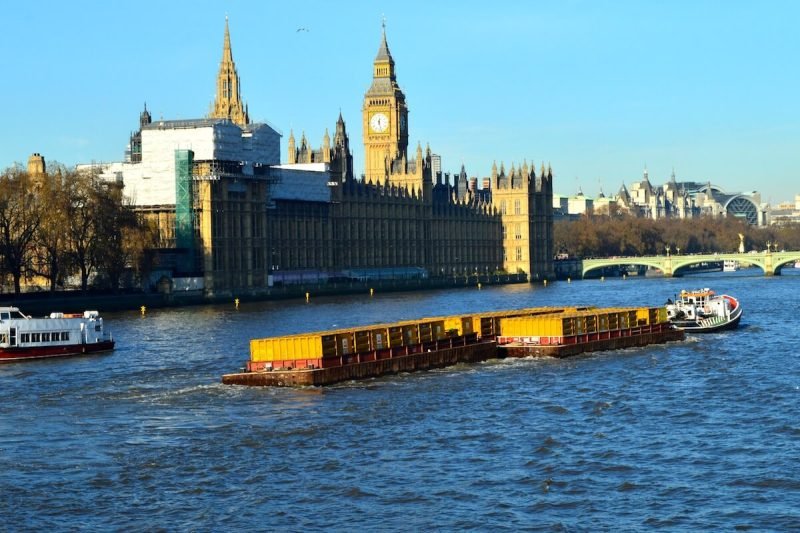
Further downstream, the Thames Path National Trail continues all the way to the Thames Barrier in London, connecting entirely different worlds along a single continuous waterway. The river through the city has its own character – the bridges, the tide, the mudlarks working the foreshore at low water – and it’s worth treating the urban Thames as a distinct stretch rather than a diminished version of the rural one.
Conclusion
Europe’s rivers are best understood through movement and time rather than a single viewpoint. The landscapes they pass through – vineyard valleys, city embankments, chalk gorges, mountain borderlands – are shaped by the water as much as the other way around. Any of the rivers here rewards more than a single visit, and arriving by water or by train along the bank puts you in a different relationship with the landscape than driving through it.